

Research on Steelhead Salmon in the Russian River Estuary
Are water conditions at the Russian River Estuary suitable for steelhead salmon returning to spawn?
Project Goals
How do we ensure that the season’s returning steelhead salmon will be able to find their way home?
Are water conditions at the Russian River Estuary suitable for returning steelhead salmon?
Research Questions
What’s the water like at the Russian River Estuary?
Is there evidence of a cold underwater freshwater plume at Jenner Gulch?
Methods
Field data collection using CTD (conductivity, temperature, depth) probe
Data analysis via Microsoft Excel
Impact
Presented water condition findings at Jenner Gulch to UC Davis Bodega Marine Lab faculty and Sonoma County Water Agency to compare results with salmon head counts
Gathered data about water conditions in an area that hadn’t been monitored in four years
Russian River Estuary Steelhead Salmon Research Project
If you watch nature television programs or documentaries, chances are you know something about salmon and their arduous life cycles. Rainbow trout, the freshwater form of steelhead, spawn in inland riverbeds and migrate towards to the coast where they morph into what we know as steelhead salmon (in turn the saltwater form of trout). After three years out in the ocean, the steelhead salmon are able to return to the exact same riverbeds where either they or previous generations of their cohort spawned. Scientists speculate that salmon use a combination of Earth’s magnetic fields and a powerful sense of smell to detect the outflowing freshwater rivers leading to their homes. When the amount and quality of a river’s freshwater changes - such as when droughts occur - it’s hypothesized that this may have a negative effect on salmon being able to navigate to their breeding grounds.

Background
The Russian River Estuary is a roughly 1 by 0.25 mile stretch of water connecting the Russian River to the Pacific Ocean. Between September and March, the annual steelhead salmon run will enter this waterway on its way back to the original spawning grounds further inland. Heavily contributing to the freshwater supply in the Russian River Estuary is Jenner Gulch, a former waterway now covered by sediment. Fresh water still trickles out from beneath the sediment, but it wasn’t known how constant the supply was especially after a four-year absence of any data collected.
In order to influence the Sonoma County Water Agency on whether to excavate sandbars to increase flow (thereby increasing the outflow of fresh water) and determine how to manage the Russian River further inland, current CTD measurements of the waters off Jenner Gulch were needed.
But wait! Why does this even matter to us?
Salmon die shortly after spawning and their remains provide nutrients to scavengers as well as the trees and plants whose roots extend underwater. When these scavenger species are unable to feed on their annual expected food sources, they die off and allow untouched carcasses to rot and spread disease. Trees and plants that are unable to absorb this nutrient source will eventually perish, their roots no longer able to absorb and hold sediments. This cascades into eventual sediment erosion, which can destroy the habitats of countless animal and plant species downriver and block vital waterways. People living along river coastlines and watersheds will lose their homes as well as the soil beneath erodes and washes away.
Research Plan
With some understanding that water is more dense the colder and saltier it is combined with the high probability of there being some underwater outflow of cold fresh water from Jenner Gulch, my team of two researchers set out to map the waterway between the gulch and Penny Island in the hopes of generating three-dimensional data over the course of time to better aid decision-makers in visualizing the cold-water plume.
Site Selection
On the surface, our measurements were taken roughly 5 yards apart to keep a consistent grid across the waterway. We planned to gather CTD data at 5-foot depth intervals until we reached the bottom of the river. These measurements, taken three days apart and over the course of ten days, would be taken at 7:00AM to be consistent with tide levels.
Data Collection
Using a pair of kayaks, my research partner and I rowed out to the data collection points and used our YSI CTD probe to measure water conditions at 5-foot depth intervals (marked on our cable by tape). We took turns reading and recording the data in notebooks which would then be uploaded and graphed on Microsoft Excel.
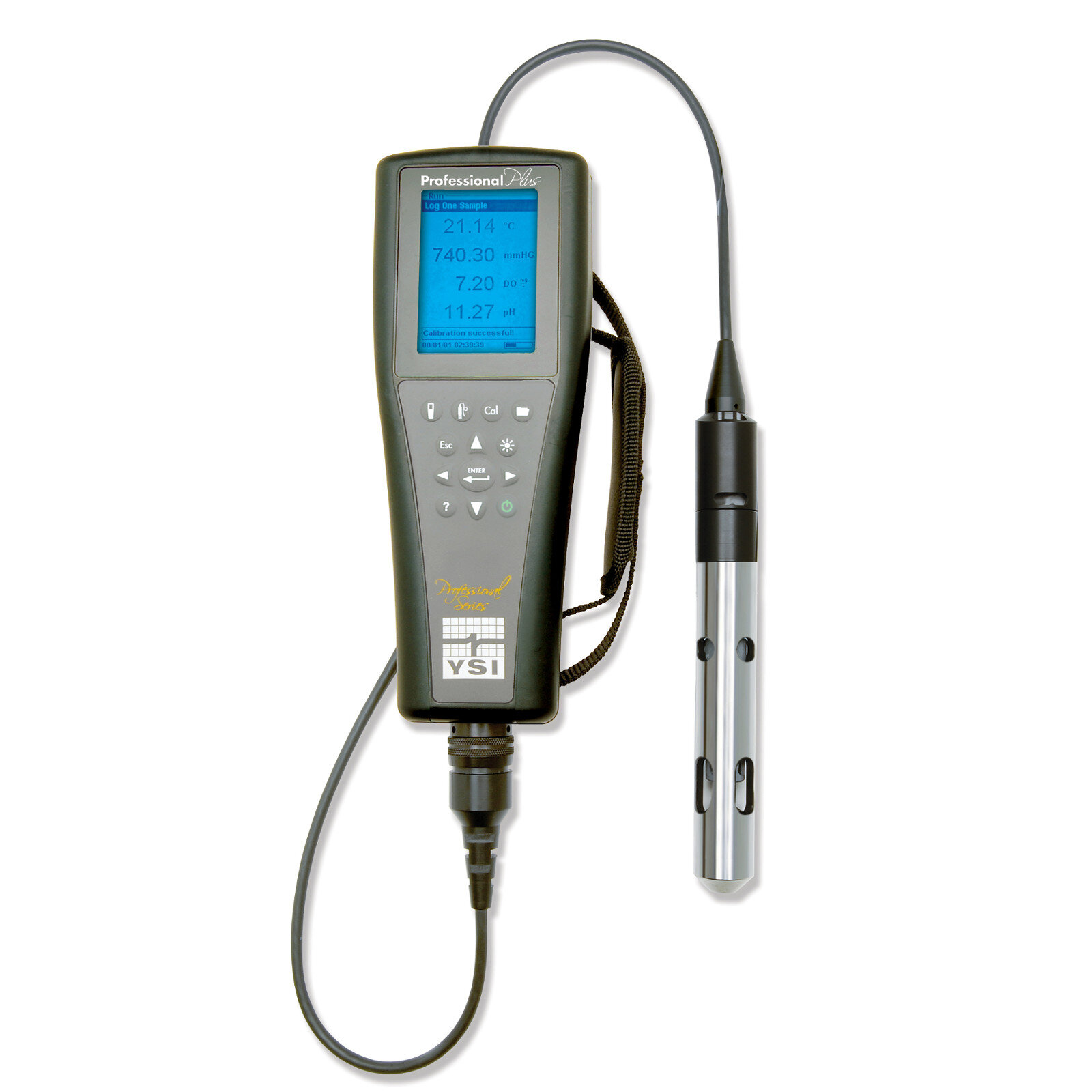
YSI CTD (conductivity, temperature, depth) probe used to collect data

Figure describing the outflow of fresh cold water into estuarine water

Surface locations of data collection points. Without the use of an anchor (so as not to disturb riverbed sediment, the kayaks were sometimes subject to drifting a few feet
Constraints
Due to a busy research schedule back at the Bodega Marine Laboratory, the best time to collect data at Jenner Gulch was early in the morning before lectures and lab work. Had this not been the case, it would have been useful to track the cold water plume and its changes in shape and size over the course of each day. Entering and exiting tides also would have made data collection tricky as the water pulled in and out of the estuary.
Findings
After the five-day period of data collection, my partner and I entered our data and generated graphs that allowed the Sonoma County Water Agency and Bodega Marine Laboratory scientists and researchers to visualize the cold-water plume and decide how to approach the incoming salmon run. Fortunately, my team detected the presence of a large and cold freshwater plume. These findings indicated that conditions were ripe for the salmon run to detect the river from whence they came and allow them to begin their arduous trek upriver and back to their spawning grounds.

Average temperatures recorded over the course of five days showing colder water flowing beneath the surface at Jenner Gulch

Average salinity recorded detailing fresher waters emanating from Jenner Gulch and mixing with the ocean water further and deeper out from shore
Communicating Findings
Our findings were presented at an annual end-of-summer conference consisting of Bodega Marine Laboratory students, faculty, visiting scholars, and representatives from the Sonoma County Water Agency. We communicated our data and graphs before taking questions and addressing any confusion that might’ve occurred. Two years after the presentation, I decided to take a look and see what was done with our findings.
While the detected presence of the plume was good news in the short term, the water conditions of 2015 were still at only 67% of the freshwater discharge in 2000. This prompted the Sonoma County Water Agency to excavate parts of the sediment impeding continuous freshwater flow in order to create a larger volume of freshwater entering the estuary. The agency’s counts of the 2015 salmon run showed a healthy return of salmon given the levels of fresh water in the estuary.
Next Steps
With very little manpower, funding, and resources to focus on each river heading into the oceans, the scientific and conservation community would benefit from either students like myself of volunteer efforts to continue to monitor every coastal estuary. My team took detailed measurements of the water conditions in one estuary system for one year, but yearly collection of this type of data is vital to the future health of our riverine environments.
The Sonoma County Water Agency was able to benefit off the findings of this particular year, but a continuous monitoring of all estuary systems across the West Coast would prove most important to the health of all salmon species, the ecosystems in which they play a part, and the future of the planet as a whole.

Jenner Gulch, 2015. Drought conditions had dried up surface flow, but an underwater freshwater flow still ran on

One of two kayaks used to gather data between Jenner Gulch and Penny Island (visible in the background)